Getting to Vail Valley
How to Get to Vail & Beaver Creek
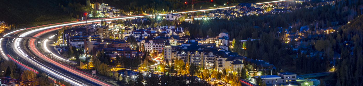
Where are Vail and Beaver Creek?
Vail and Beaver Creek are located in western-central Colorado in the Rocky Mountains and west of the Continental Divide. Vail and Beaver Creek can be accessed by car, shared or private shuttle, or air, with two nearby airports.
How far is Vail from Denver?
Vail is about 96 miles from Denver and 120 miles from Denver International Airport (DIA).
How far is Beaver Creek from Denver?
Beaver Creek is around 108 miles from Denver and about 131 miles from Denver International Airport (DIA).
How far is Beaver Creek from Vail?
Beaver Creek is located approximately 12 miles west of Vail.
Driving Directions to Vail and Beaver Creek
Vail and Beaver Creek are located along scenic I-70, making it a straightforward drive from all over the U.S. If you're coming from the east, however, the route does require a drive over Vail Pass, the renowned 10,662-foot-high pass over the Continental Divide. 4-wheel drive cars are required when traveling over Vail Pass in the winter months.
Flying to the Vail Valley
Vail and Beaver Creek are serviced by two airports. Eagle Regional Airport is the closest to Vail Valley, located approximately 30 miles west (around a 40-minute drive). Denver International Airport (DIA), is a two-hour drive and is located about 120 miles east of Vail. Both airports offer direct flights from major cities and other regional airports. Cheaper fares can generally be found by flying into DIA, but when combined with shuttle or car rental costs, you may find that the convenience vs. savings breakdown falls in favor of Eagle County.
Book Your Trip to Vail Valley Today